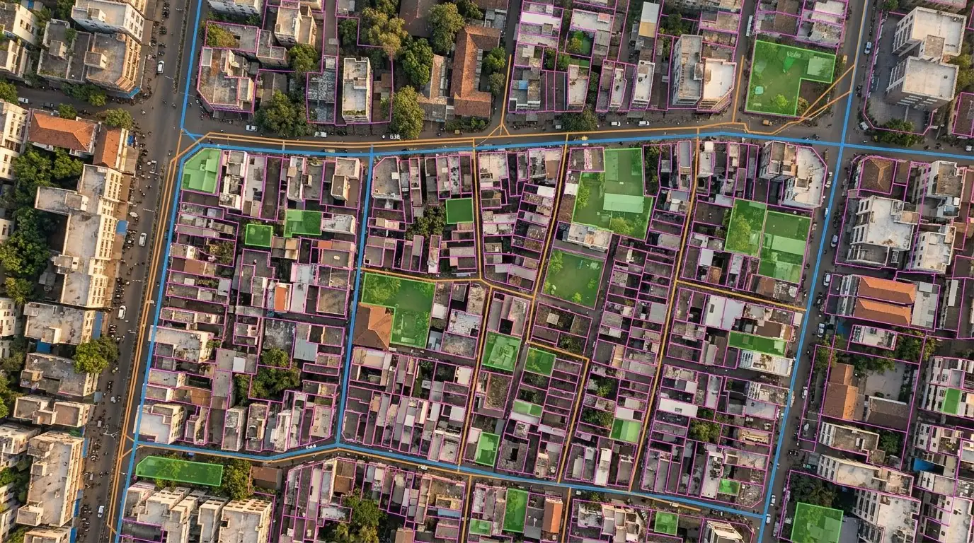
Drone survey, GIS and inspection across ten domains — IEC/TS 62446-3 solar audits, 54-layer city base maps, 70 Ckt km transmission ROW and 1,400 sq km cumulative surveys.
Digital data collection of every urban asset class — water, sewage, power, waste — alongside aerial surveys for town planning, structural audit of bridges, and 3D visualisation for public engagement.
/01
Asset digitisation
Water, sewage, power and waste-management departmental assets captured layer-by-layer per urban-planning specs.
/02
Property tax + evasion ID
Aerial survey-based property-tax assessment and evasion identification.
/03
Structural audit
Bridges and major structures — high-resolution inspection without scaffolding.
/04
Independent permit audit
Third-party audit of building, transport and fire-services permits issued by Urban Local Bodies.
/05
Traffic + crowd
Behaviour analysis for routine traffic planning + crowd control for large gatherings.
/06
3D + public engagement
High-fidelity 3D visualisation for participatory planning and public messaging.
02 — Rural development & revenue
Smart villages & scheme-disbursement audit.
Digital data collection across rural departments and the same independent-audit tool extended to insurance disbursement and state/centre scheme verification.
Aerial surveys / base maps for Smart Villages and land-record keeping
Encroachment detection and resolution support
Independent audit of state/centre development schemes
Farmer-insurance claim disbursement verification
Digital Agri Mission rollout — Mizoram flagship: 1,000 sq km over 3 years (AgriStack onboarding, geo-referenced parcels, digital crop survey) — part of 1,400 sq km surveyed cumulatively
03 — Mining & quarrying
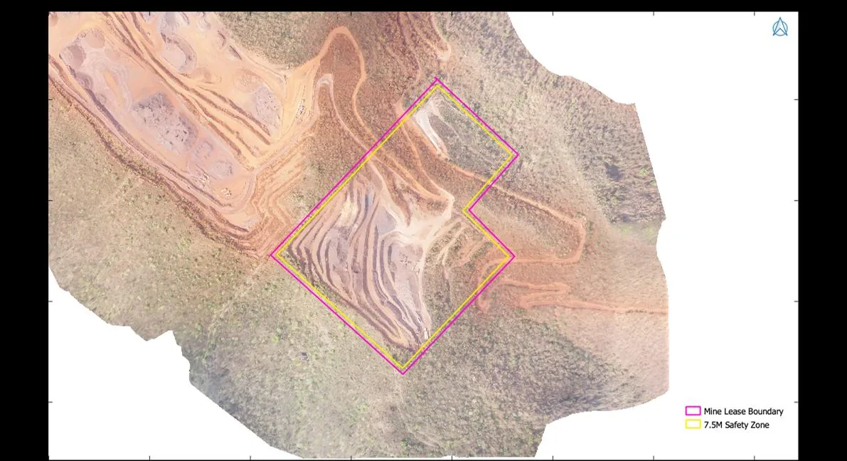
Lease compliance, measured from the orthomosaic.
Survey-grade drone orthomosaics and elevation models that make lease compliance and production volumes independently verifiable — for operators, lessors and regulators.
Lease-boundary and safety-zone demarcation against the approved mine plan
Encroachment and outside-lease working detection
Stockpile and excavation volumetrics — cut/fill from DEM differencing
Haul-road and bench-geometry condition survey
Period-on-period production audit support for royalty assessment
04 — Roads & linear infrastructure
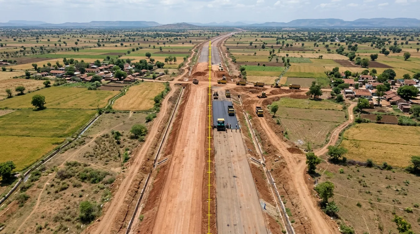
Corridor survey, chainage by chainage.
Alignment surveys, elevation models and progress monitoring for highways, railways and other linear projects — from route options to as-built verification.
Route-alignment and corridor survey with digital elevation / surface models
Land-acquisition strip mapping and structure enumeration
Construction-progress monitoring against schedule, visit over visit
Pavement and roadside-asset condition survey — signage, guardrails, culverts
As-built verification against design drawings
05 — Revenue & land records
Village survey at parcel resolution.
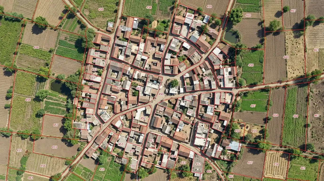
SVAMITVA-style drone survey of village habitation areas — a geo-referenced parcel fabric that revenue departments can take through to record-of-rights.
Abadi-area drone survey with ground-control DGPS network
Ground-truthing support for record-of-rights preparation
Encroachment and boundary-dispute exhibits from the same orthomosaic
Periodic re-survey for mutation and change detection
06 — Watershed & water resources
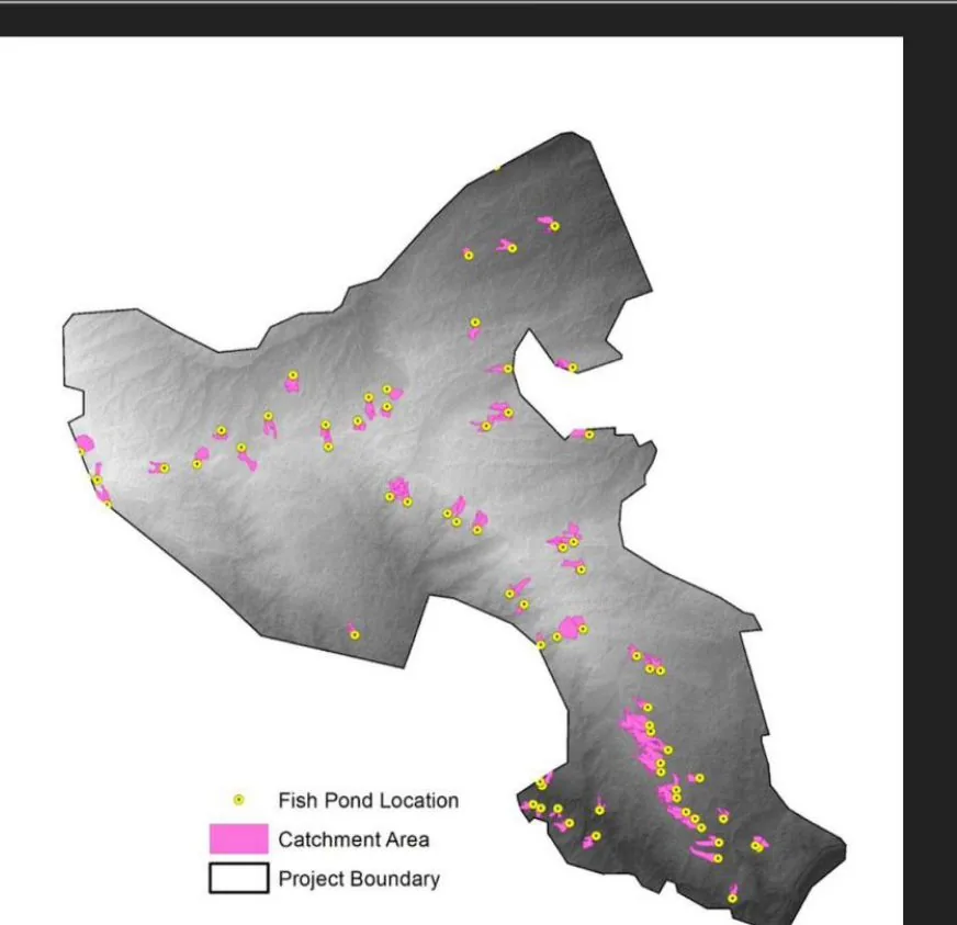
Every check-dam, accounted for.
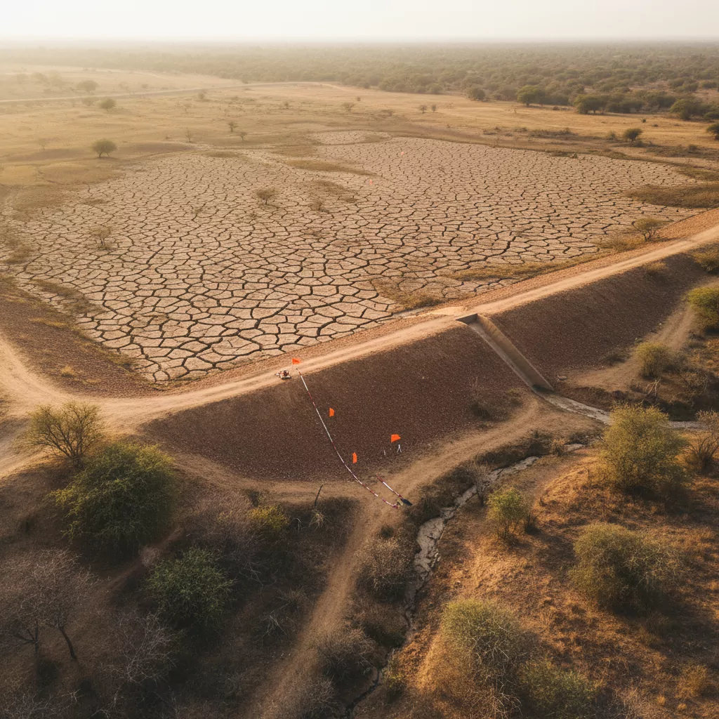
Condition survey of water assets and watershed treatments — the same independent-verification approach applied to what irrigation and rural-development departments have built.
Watershed condition and treatment-works mapping
Check-dam and percolation-tank condition, pre/post-monsoon
Irrigation command-area mapping and canal-network survey
MGNREGA water-asset existence and condition verification
Catchment and drainage-line delineation from elevation models
07 — Forestry & carbon
Canopy survey to carbon stock.
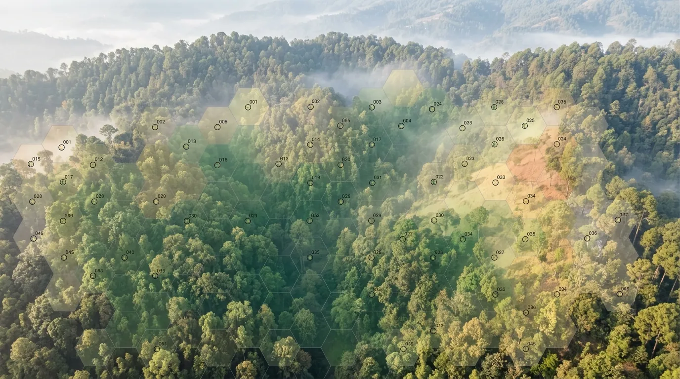
Aerial forest survey with plot-level ground truth — canopy density, plantation audit and above-ground-biomass estimation for carbon accounting. For conservation technology — surveillance, anti-poaching, ecology — see our Environment & Ecology division.
Canopy-density and species-mix survey from multispectral aerial imagery
Sample-plot mapping and stratification for field inventories
Above-ground biomass and carbon-stock estimation from aerial + plot data
Plantation survival and growth audit, season over season
Encroachment, felling and degradation change detection
08 — Power sector: renewable assets
Solar asset assessment per IEC/TS 62446-3.
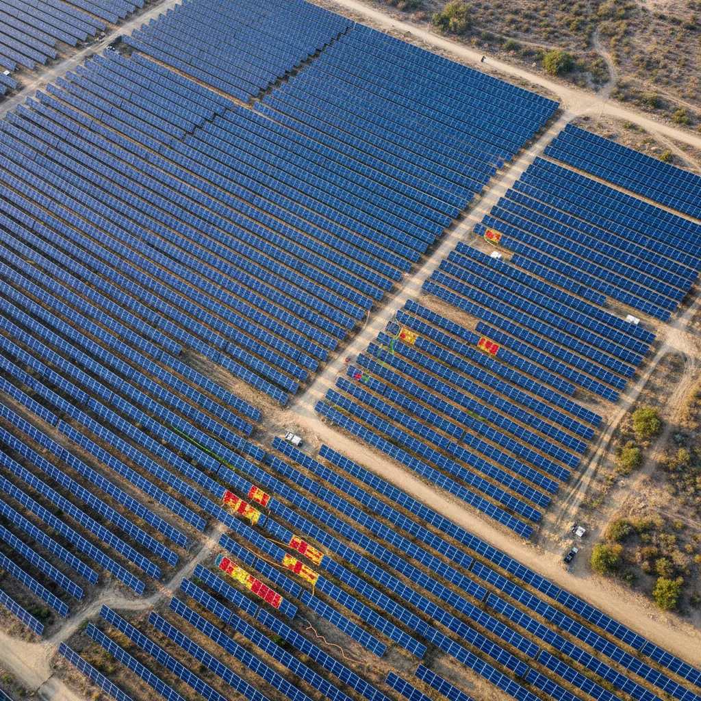
Quantified module-defect claims that get serviced by the manufacturer without EL testing or IV-curve testing. Pre-construction, construction-monitoring, and O&M evaluation of solar and wind plants. Investor due diligence.
IEC/TS 62446-3 compliant aerial assessment of solar PV
Wind power preventive maintenance using MSX imaging
Security and surveillance solutions for renewable energy assets
External audit, residual-life assessment, investor due diligence
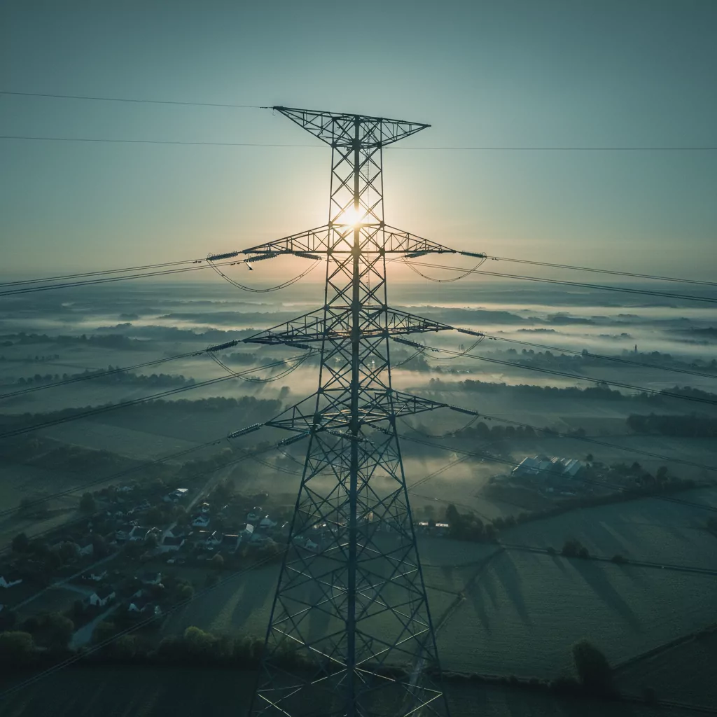
09 — Power transmission & distribution
The grid, inspected from the air.
Transmission and distribution asset inspection — towers, lines, insulators and right-of-way — without de-energising, climbing or scaffolding.
Power-line and transmission-asset inspection
Distribution-asset inspection and theft detection
Faulty-insulator leakage detection
Vegetation-encroachment monitoring on right-of-way
New transmission line route survey + digital elevation mapping
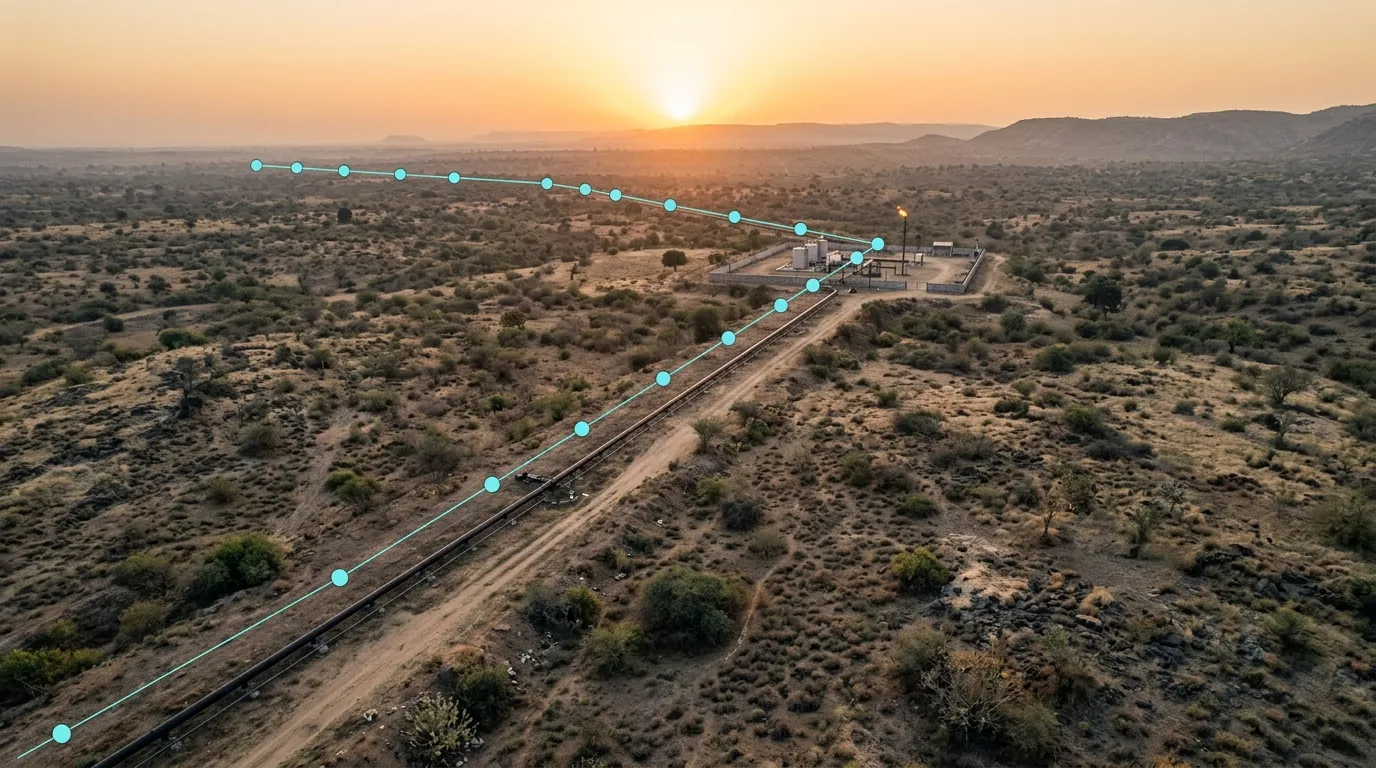
10 — Oil & gas
Pipelines and plants, hard-to-reach included.
UAV inspection of plant and pipeline infrastructure plus sensor-and-AI pipeline security — the assets people can’t easily get to, covered on a schedule.
Inspection & maintenance of well sites, storage tanks, flare stacks, oil rigs, offshore platforms
Sensor + AI pipeline security and leakage detection
Annual aerial audit of pipeline right-of-way
Encroachment and third-party-activity monitoring along the corridor